Anywhere
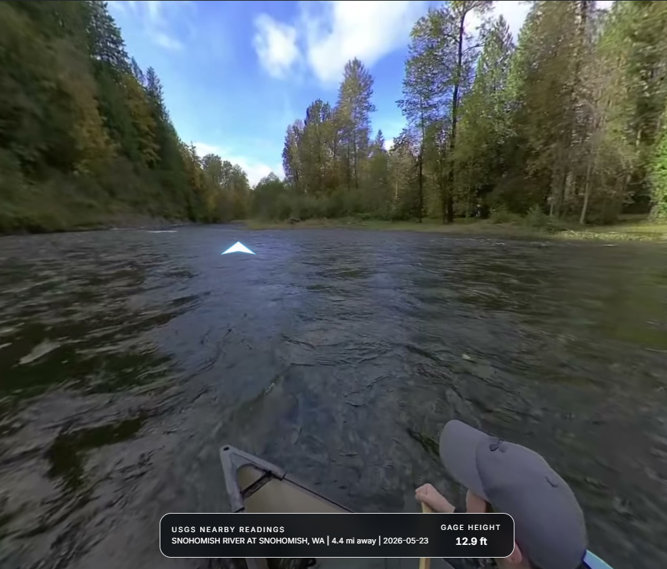
Street View for water
Street-level scouting before the put-in.
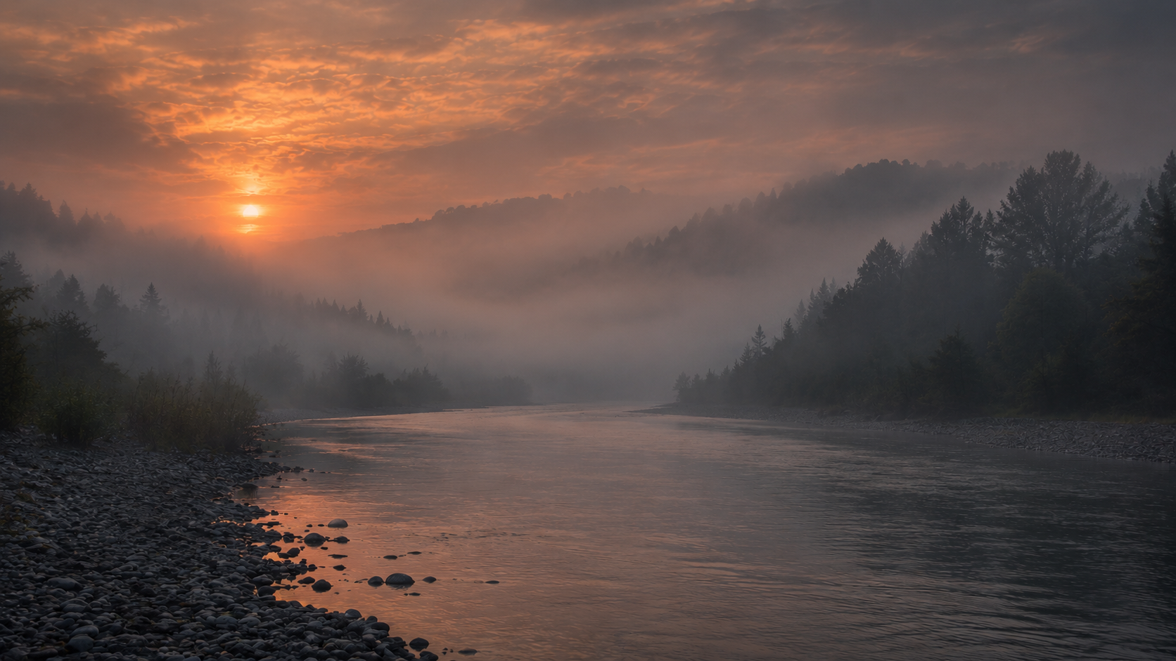
WatrWays · Curated water context
The world's most complete waterway dataset — rivers, lakes, launches, hazards, depth data, and community knowledge, all in one living map built for boaters, paddlers, and anglers. Unlike road maps, WatrWays is built entirely around the water.
/ The idea
WatrWays is built backward from the decisions people make before they launch: where to put in, what the bank looks like, how the bottom changes, and what local hazards matter.
The point is not adding more layers for the sake of layers. The point is keeping the useful water-specific context in one place so each trip starts with less guesswork.
/ The Journeys
Three water-first routes through the product. Keep scrolling to move across the band.
Anywhere
Street-level scouting before the put-in.
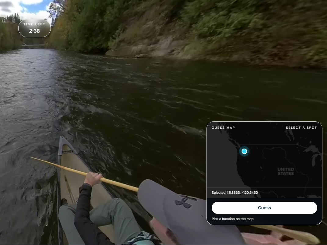
LOST
Get dropped at a random location and try to guess your location
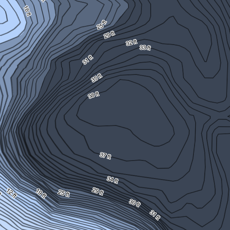
Everywhere
Contours and bathymetry for the water under you. + MORE
/ The Experience
 01 — Explore
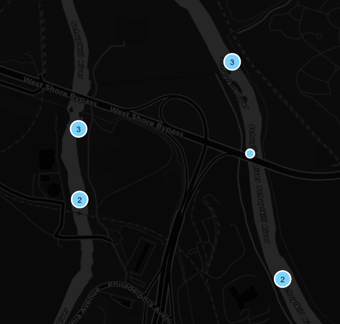
With all of the Watrways layers and views theres nothing else you need to explore any waterway from anywhere. Find destinations, hazards, USGS markers, etc
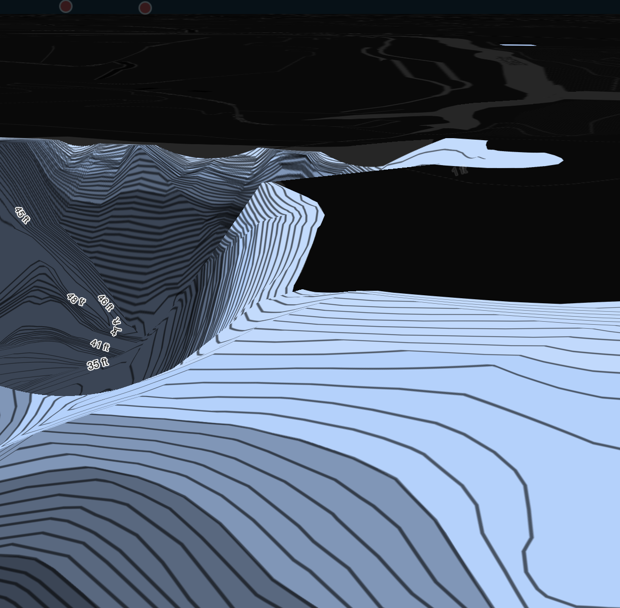
Using the charts that Watrways provides, you can essintallly use it as a mobile depth finder as youre out on the lake, track the speed, the route etc. Available in 3D as well
Everyone is welcome to become a contributor by either uploading 360 videos, Community Photos, Sonar Data, Depth Charts, and more. Our goal is to be able to put together a diverse dataset of Earths water
Come back with your saved context already in place instead of rebuilding the same local knowledge every trip.
/ The Experience
01 — ExploreWith all of the Watrways layers and views theres nothing else you need to explore any waterway from anywhere. Find destinations, hazards, USGS markers, etc
Using the charts that Watrways provides, you can essintallly use it as a mobile depth finder as youre out on the lake, track the speed, the route etc. Available in 3D as well
Everyone is welcome to become a contributor by either uploading 360 videos, Community Photos, Sonar Data, Depth Charts, and more. Our goal is to be able to put together a diverse dataset of Earths water
Come back with your saved context already in place instead of rebuilding the same local knowledge every trip.
/ Community growth
Contributors are the dataset. Photos ground-truth what's on the bank, 360° video puts you at the helm before you ever leave the dock, and now sonar tracks turn a single pass into a depth chart everyone behind you can use.
Dock conditions, hazards, and landmarks — tagged right where they happen.
Ride along in first-person POV down any charted stretch of water.
Upload a logged sonar track and help fill in the depth chart for everyone behind you.
Merged contours built from contributed sonar passes, refined with every trip.
/ The stay
On WatrWays, the equivalent of the stay is the local context around the launch. A route is only as good as the first hundred yards when you arrive in real life, so that context has to be visible.
/ By the numbers
miles of waterways charted in 3D
miles documented in first-person POV
contributors charting the water
of imagery and map data stored
I opened a map. I came home with a year's worth of useful context.
- a better pre-launch workflow
/ Depth map store
Detailed water-depth data for your chartplotter. Choose an instant digital download or a ready-to-use SD card, formatted for Lowrance, Humminbird, or Garmin.
Browse depth maps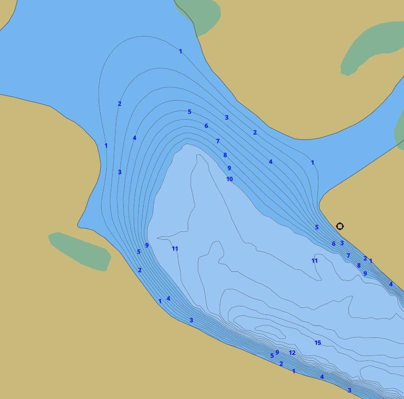
Featured chart
Blue Marsh Lake
Common questions about watrways, how the map works, and what you can do on the water.
watrways Support
Have a question, found something missing, or want to help shape the map? Send a note and we will follow up.
Quick response
Straightforward replies from the team building the map.
Clear next steps
Useful context, not a generic support loop.